
When Nepal signed the Sugauli Treaty with British India in 1816, parts of the demarcated border followed the courses of rivers. Since then, the sediment-heavy rivers flowing down from the mountains have changed course many times. The Kosi itself now flows 120km west of where it was in Bihar when the treaty was signed two centuries ago.
Since 1994, India and Nepal have decided to follow the Fixed Boundary Doctrine, meaning the border line does not change even if the river alters course. Though survey teams from the two sides are supposed to work together to keep track of the border, it is a difficult task during the monsoon flood season.
Read also:
Nepal must keep water on its land, Anil Chitrakar
Flood of recrimination in the Nepal Tarai, Editorial
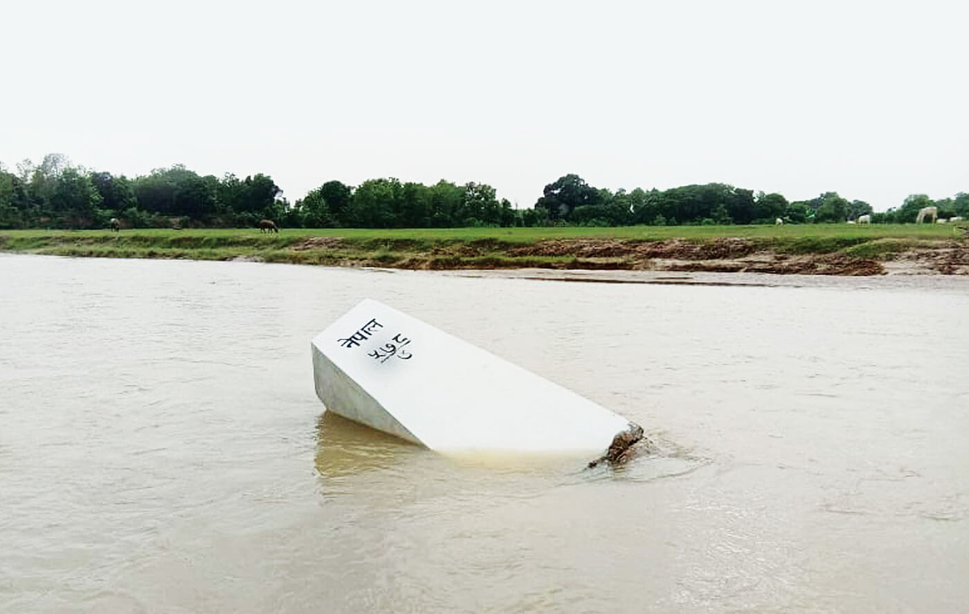
This year has been no different. Many pillars along the 1,880km Indo-Nepal border have either been washed away or are submerged. Of the 8,554 border pillars, 2,105 are actually located within rivers, and more are along floodplains that are submerged in the monsoon. Among them, 452 pillars have either been removed or lost – half of them because of floods.
The big flood of 13 July washed away many of the remaining pillars. Among them were four that were reinstalled just last year in Bijaynagar of Kapilvastu district (one of them, pictured above).