
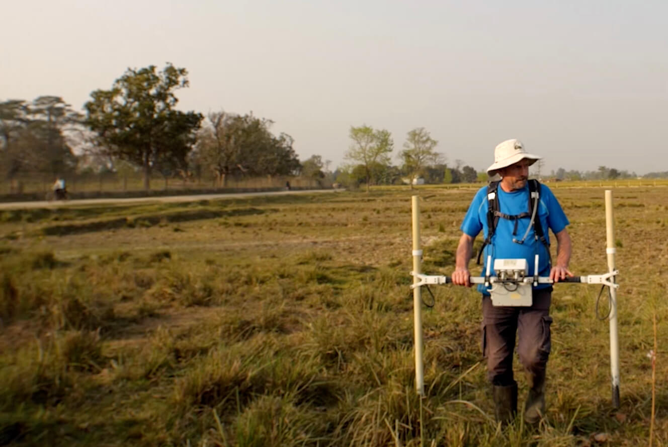
We use a magnetometer for the geophysical survey of Tilaurakot which allows it to ‘see’ bricks under the ground. Burnt brick walls under the surface are more magnetic, so we can excavate only the necessary areas.
In the past, there was a belief that ‘all archaeology is destruction’ because we had to physically excavate the land, and in doing so we were actually destroying the site. The magnetometer is a better tool to quickly locate historical evidence without having to excavate anything.
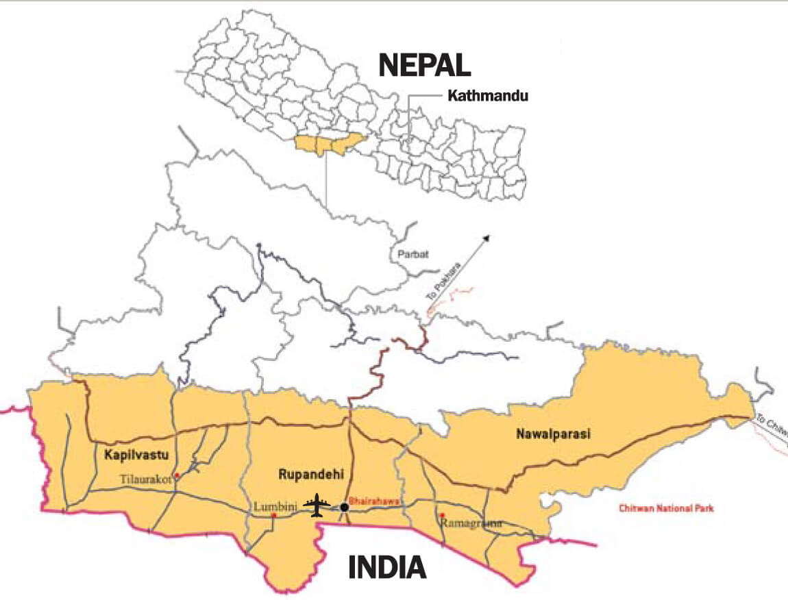
Kapilvastu-Tilaurakot is the most well preserved archaeological site in South Asia, and is 2,700 years old. The eastern part lies unused and untouched by agriculture due to the area being naturally elevated, and quite densely forested in the past.
There are still jackals, jungle cats, and wildlife here, making this a mini nature reserve. We need to preserve Tilaurakot’s archaeological and historical value, but also its environment. Kapilvastu is just not an ancient city, it is a sacred region as well.
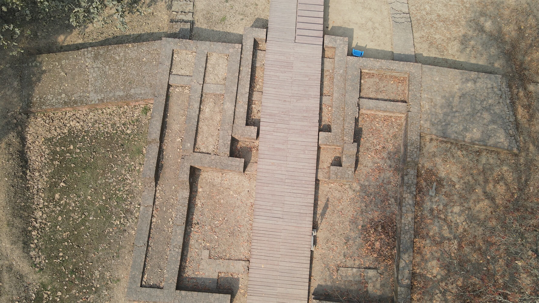
The Eastern Gate of the site is where Siddhartha Gautam left his family at age 29 to seek enlightenment two-and-half millennia ago. It is one of five to six gates around the city, which was three towns and three small settlements within the site.
We know that the city was abandoned, so the buildings are now very close to the surface. So are the ancient pathways that wind through the city. The increasing number of pilgrims had begun to wear away the archaeology on the surface, so we built a wooden platform over the ancient brick path. The planks serve not only to give visitors an idea of the grid plan of the city, but also to protect the site from wear.
The road over which the wooden planks now sit were 10m wide, with a long line of buildings on either side — shops on the front, and courtyard houses behind.
Visitors and pilgrims expect ancient Kapilvastu to have been a grand city with high walls, and domes, turrets and marble towers. The historic reality, however, is that the floors and walls of these buildings are mud, the foundations are brick, and the roofs are thatch, much like today’s Tharu villages.
However, we found that the palatial structure located at the highest point within the site, was fortified by 6m high walls made from rammed earth, inside which a forecourt led to a gate where we found evidence of huge set of bricks on either side for a guard post.
When the Chinese pilgrims visited this region during the 1st century CE, they described it as a largely abandoned city where the walls were still strong. These structures are quadrangular, with open courtyards, and are normally interpreted as monastic. However, some courtyard buildings on the site were built later on top of the fortification wall.
We also found a large square area rich in magnetism, which tells us that there was a water tank. This is striking, because there are no previously known examples of civic architecture or infrastructure in South Asia during the 3rd century BCE.
When we first started excavating in Kapilvastu, what struck me the most was the material culture — the pottery, coins, terra cotta objects — which I thought would be remarkably different from excavations in Hastinapur, Taxila, and elsewhere.
We have unearthed coins from the 3rd century CE from Ayodhya on the site. There is evidence of diplomatic and commercial links in the form of way-stations, fortified enclosures, and wells between 13-15km apart on the same alignment as the present route from Lumbini to Tilaurakot.
We have this amazing mosaic of urban forms developing from Gandhara all the way down to Sri Lanka, which tells us that South Asia was part of a unified urban growth. This supports the existence of cultural corridors for the exchange of ideas, artists, craftspeople, goods, and faith. The notion that areas further out from the Ganges were slightly slower to develop is not the case.
The abandonment of this city marks a point in which it changed from deep conglomeration of communities within walls of a city to a more dispersed de-urbanisation. This corresponds to most settlements during the early historic period where city forms were lost, leading to feudalism.
To try to bring Kapilvastu-Tilaurakot alive through geophysical surveys in the absence of large excavation sites is a significant challenge. Archaeological interpretation is moving away from that view of Kapilvastu as a city of opulence to an understanding that in the early historic period, this was one of the most developed cities, but it was a place with timber fences and thatched roofs, and mud roads.
It is always a privilege when you see Buddhist pilgrims surrounding an excavation trench, and witness their devotion. This gives us a responsibility to ensure that sites like this are protected and interpreted.
Robin Coningham is a British archaeologist and academic, who led the excavation of the Maya Devi Temple in Lumbini. He is the author of The Archaeology of South Asia: From the Indus to Asoka, c6, 500BCE-200CE.
From an interview with Kanak Mani Dixit in Sago Samaj tv magazine program.