
The New Zealand government is working with the Nepal government to find out if Mt Everest shrank after the 2015 earthquake, and if so by how much. The New Zealand Ministry of Foreign Affairs and Trade is supporting Dr Chris Pearson, a New Zealand geodesist who is spending four weeks working with the Survey Department of Nepal to assist them in planning the project and processing data from its early phases.
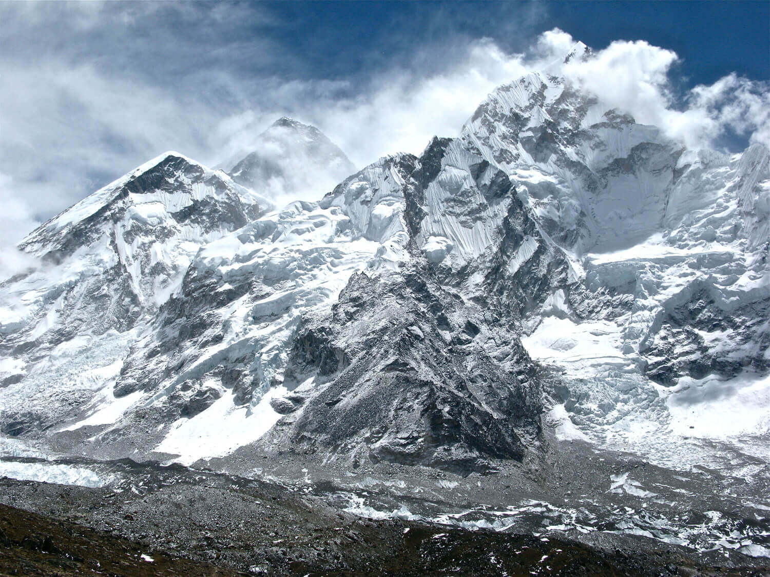
Geologists say the April 2015 quake may have shrunk the mountain by about 3 centimetres. The current officially recognised height of Mount Everest is 8,848 metres.
The project involves the use of both conventional surveying techniques similar to those used by George Everest (who surveyed Mount Everest in the 19th century) and a modern global positioning system receiver that will be taken to the top of the mountain to measure its height. The final verdict about the height will come in mid-2019.
This year marks the 65th anniversary of Sir Edmund Hillary’s and Sherpa Tenzing Norgay’s successful ascent of Mount Everest.
“The legacy of this historic achievement on 29 May 1953 continues to underpin New Zealand’s close and warm relationship with Nepal, as well as support its further growth. It is therefore a proud moment for us at the New Zealand Embassy to support this important initiative that will help us ascertain the correct height of this renowned geological landmark,” says Joanna Kempkers, the New Zealand Ambassador to Nepal.
“It is an honour for New Zealand to be assisting the Department of Survey and the Government of Nepal with this important and high profile task of re-measuring Mount Everest, the highest mountain in the world and an iconic tourism attraction for Nepal. We are also pleased to have been able to provide targeted technical support to Nepal following the earthquakes.” said Lisa Choegyal, New Zealand Honorary Consul to Nepal.
Niraj Manandhar, Deputy Director General of Nepal's Geodetic Survey Division Department of Survey, said Nepal was pleased to have New Zealand’s help and Pearson’s expertise.
Trimble NZ, a US-based firm that manufactures advanced positioning solutions, has donated a complimentary licence of their GPS processing software for use in analysing the data collected during the project. They also plan to lend two state of the art GPS receivers for use during the summit measurement.
Pearson led a successful post-earthquake survey mapping project along with Nepal's Survey Department in 2015 to help the country rebuild after the two massive earthquakes earlier that year.
The earthquakes caused the ground to move by about 2 metres, sending co-ordinates in geographic information system and geodetic databases "well off'' their actual locations. He worked with the Survey Department to develop mathematical models to correct co-ordinates and survey measurements for the quake-induced ground movement. This work was also supported by the New Zealand government.